Aerial Infrared Photographs
Written by
Paul Malo posted on February 16, 2008 10:54
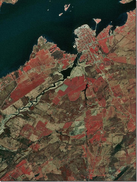
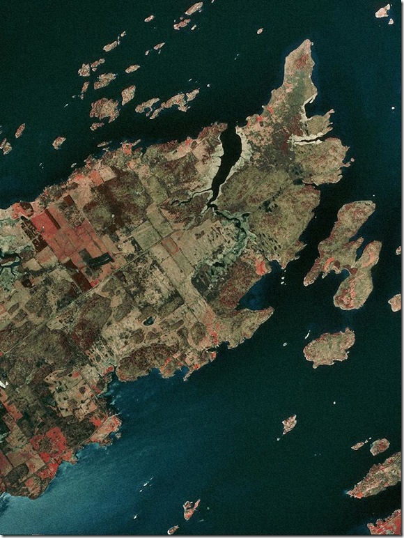
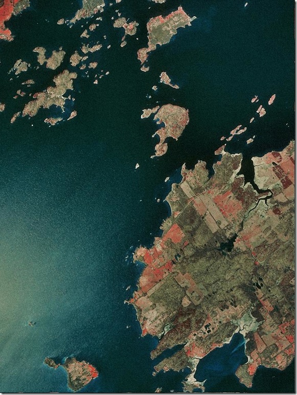
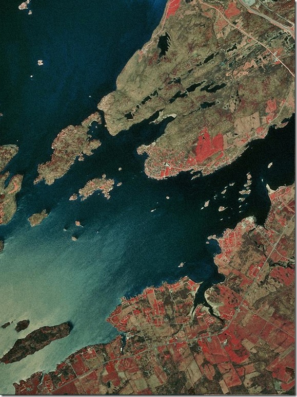
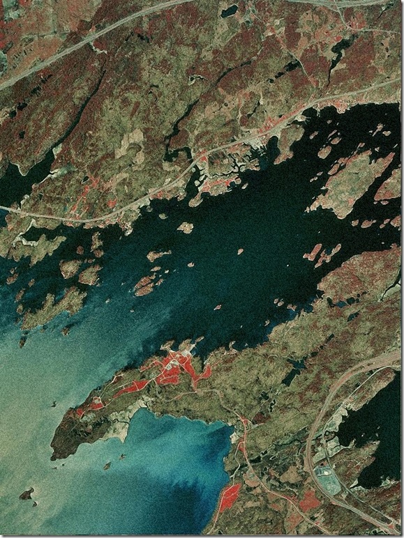
These gorgeous images, appearing like abstract paintings, were photographed on infared film in order to show the changing character of surface culture.
Bill Hecht, who provided the photographs from his vast archive, says, "Such images were up prior to 9/11 on NY State DOT sites, USGS and others."
Please feel free to leave comments about this article using the form below. Comments are moderated and we do not accept comments that contain links. As per our privacy policy, your email address will not be shared and is inaccessible even to us. For general comments, please
email the editor.
Comments
Comment by: Konrad ( )
Left at: 2:05 AM Sunday, September 25, 2011
Interesting to see it like that, however I am pretty sure that the town on the Canadian mainland on the last picture is Ivy Lea, Gananoque would be north of what is shown on the 3rd.